EXPLORE JUPITER WATERWAYS APP for your SMARTPHONE

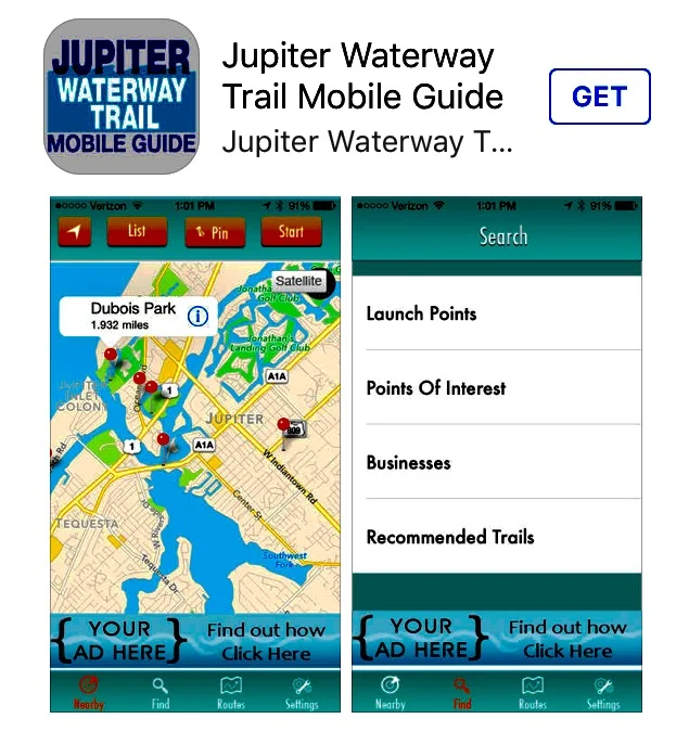
Marine fanatics in the Jupiter area now have a hi-tech way to circumnavigate local waterway routes. The Jupiter Waterway Trail Mobile Guide is a downloadable app available for your smartphone. The trail guide allows users to find and map trails along the 39 miles of waterways in the Jupiter area. Users can even share their favorite routes and find points of interest.
The plant life changes as you go down the river, to the Intracoastal and out the Jupiter Inlet from marshland to crystal clear, blue water. You will see turtles, herons, fish jumping and even porpoise. It is an entirely unique experience.
The Jupiter Waterway Trail is a sequence of trails that connect the Jupiter Inlet, the Loxahatchee River and the Intracoastal Waterway. The Town of Jupiter website describes, “These legs and off-shoots create a natural playground of eco-tourism activities, from kayaking and stand-up paddle boarding to snorkeling, boating, fishing, and diving. It also has several adjacent natural areas that encourage “near-water” activities like hiking, biking, beaching and enjoying wildlife, such as bird watching. Explore the area’s natural waterways, habitats and history.
The Jupiter Waterway Trail was officially recognized by the DEP Greenways & Trails System in 2013. The app was developed back in March of 2014. Compatibility: Requires iOS 5.1 or later. Compatible with iPhone, iPad, and iPod touch.
Download the mobile guide app here. It is free at App Store on your smartphone and enjoy Jupiter’s beautiful Waterway Trails.


Leave A Comment